

Skip to content

Turn nature’s uncertainty into intelligence.

Satellite intelligence to build resilient supply chains and scale landscape carbon projects.

We use satellite and field data to help businesses, project teams, NGOs and funders assess landscapes, understand risks and track progress.

Book a conversation

What you can decide

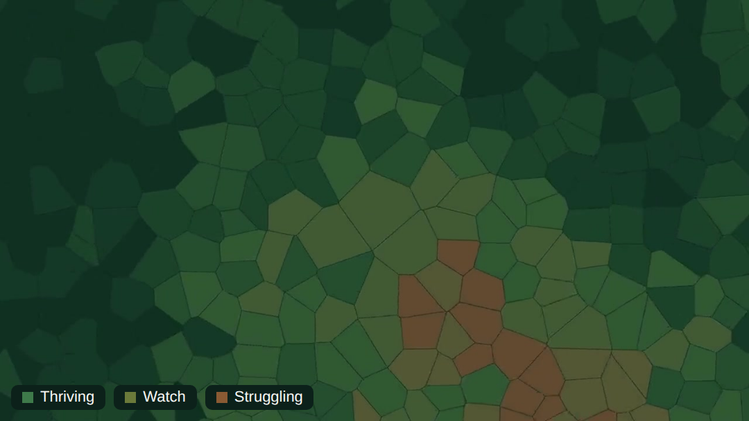
Prioritise field action where it matters the most.

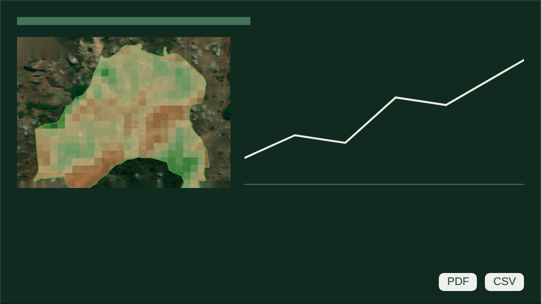
One plot, followed through a year: from the first baseline to the report.

timeline-divider_flush_1200x13@2x
step-1_january_baseline
step-2_april_alert
step-3_may_prioritised-visit
step-4_june-to-august_intervention
step-5_october_improvement
step-6_december_report

January

Baseline

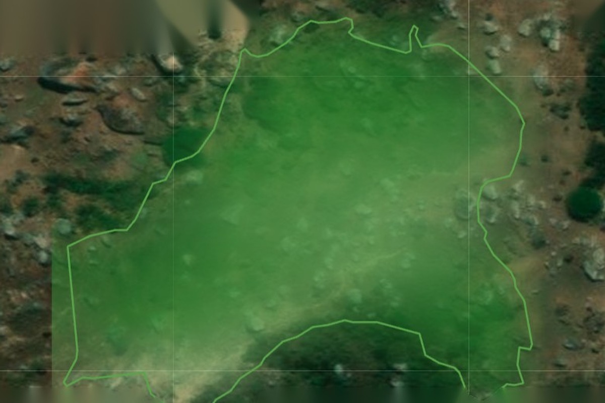
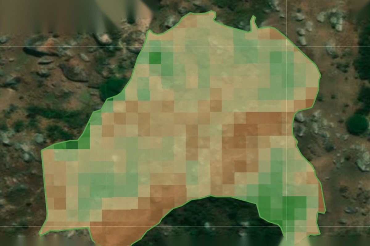
Every plot gets a 360° view: terrain, climate, soil, plant health.

You decide

Where to start

April

Alert

A change is flagged: clearing, stress or an anomaly.

You decide

What needs a look

May

Prioritised visit

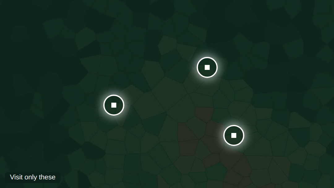
Plots are ranked. Field teams go to the first ones first.

You decide

Who goes where

June to August

Recommendation

Plot-tailored recommendations, delivered by your field team.

You decide

What to advise

October

Improvement

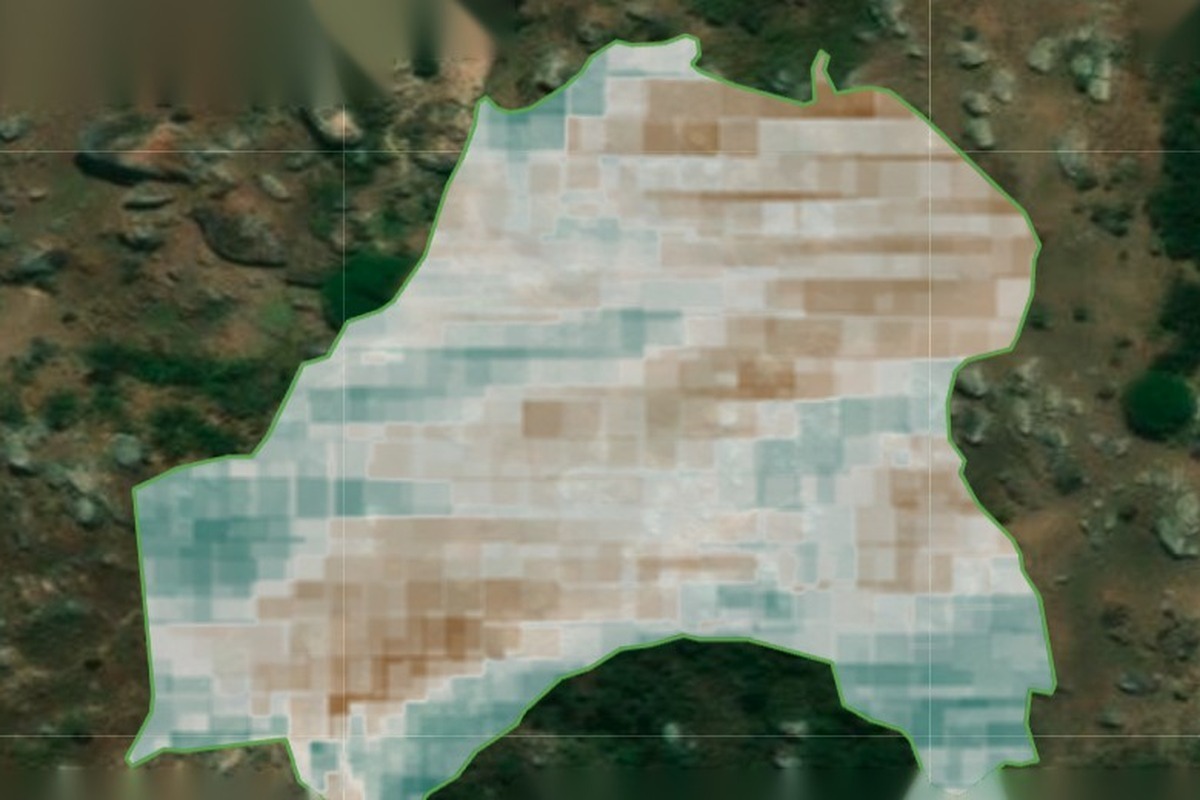
The satellite shows what changed, with a confidence label.

You decide

What to scale

December

Report

Audit-ready evidence for donors, buyers and regulators.

You decide

What to report

From one analysis to an extension of your team.


RegenWise

A clearer view of your land from individual plots to entire landscapes.

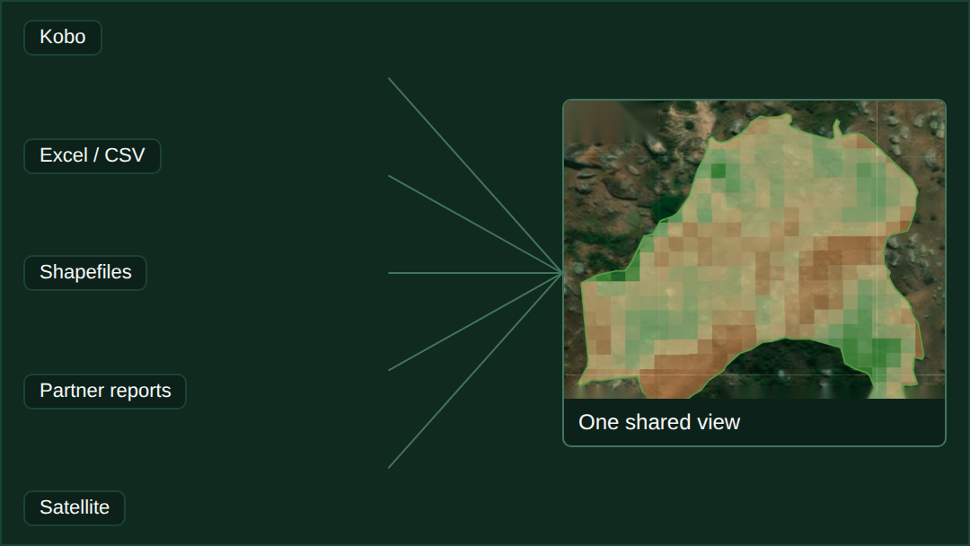
RegenWise brings satellite, field and project data into one platform to help teams establish baselines, prioritise field interventions and monitor change from individual plots to entire portfolios.

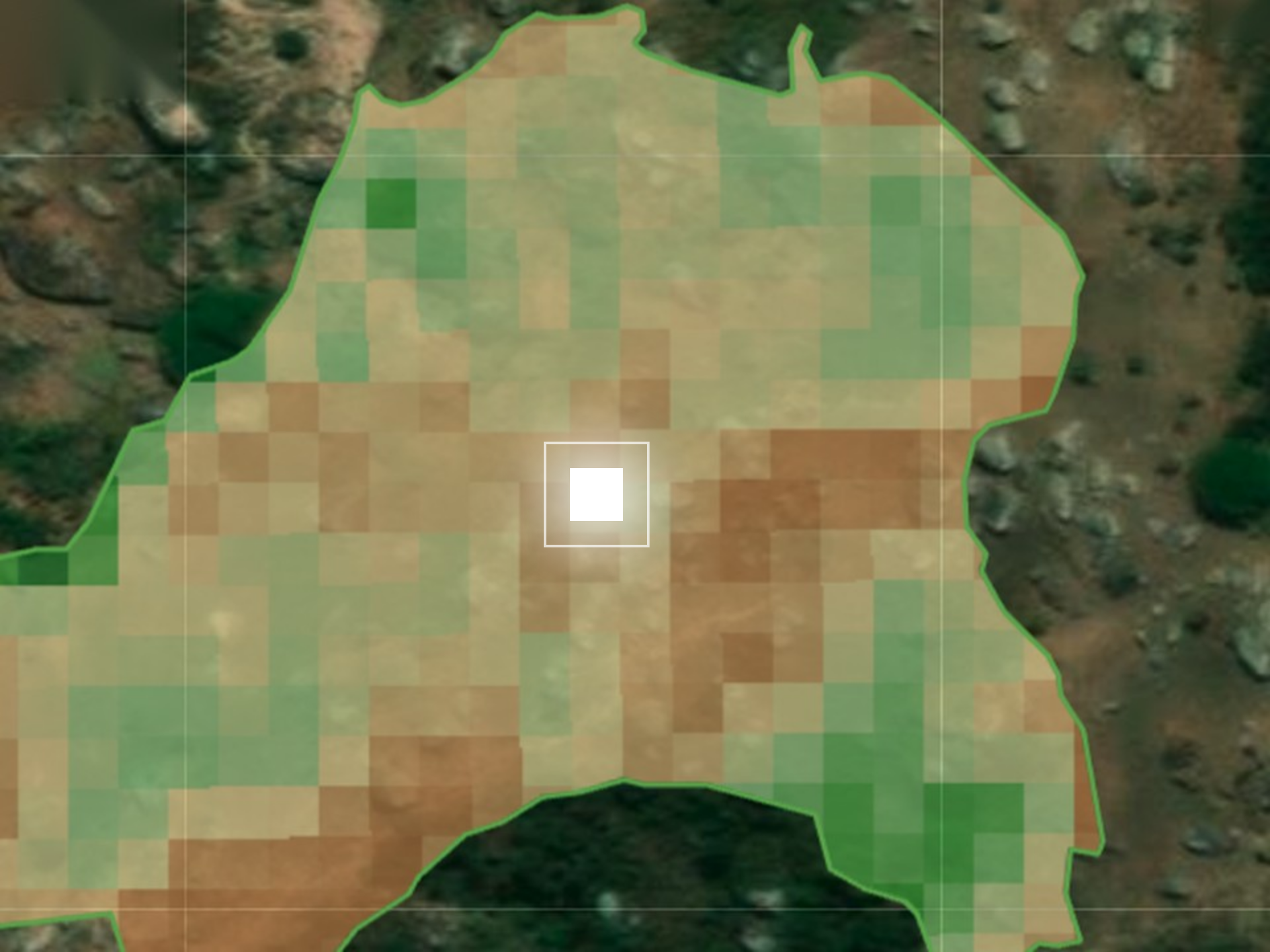
Seen from orbit. Understood in the field.

one-pixel_real-imagery_with-white-pixel-2

Signal

Satellites show what is changing.

Context

Field experts and agronomists explain why it matters here.

Field

Ground evidence tells us what to trust.


One confidence label on every conclusion

  • Field-confirmed
  • Strong satellite signal
  • To verify

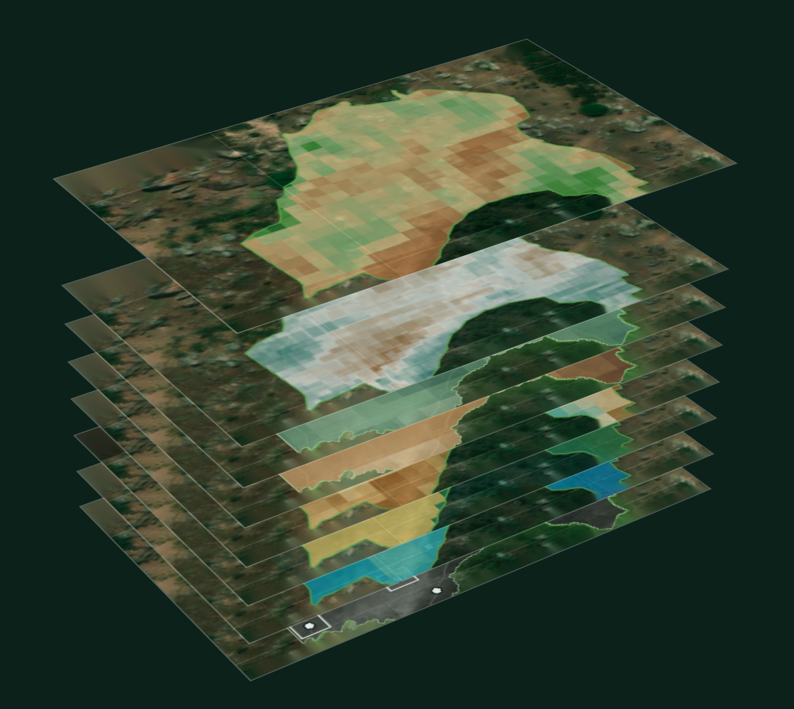
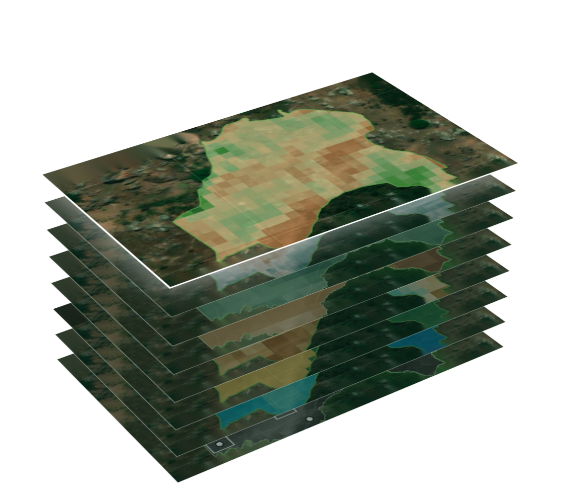
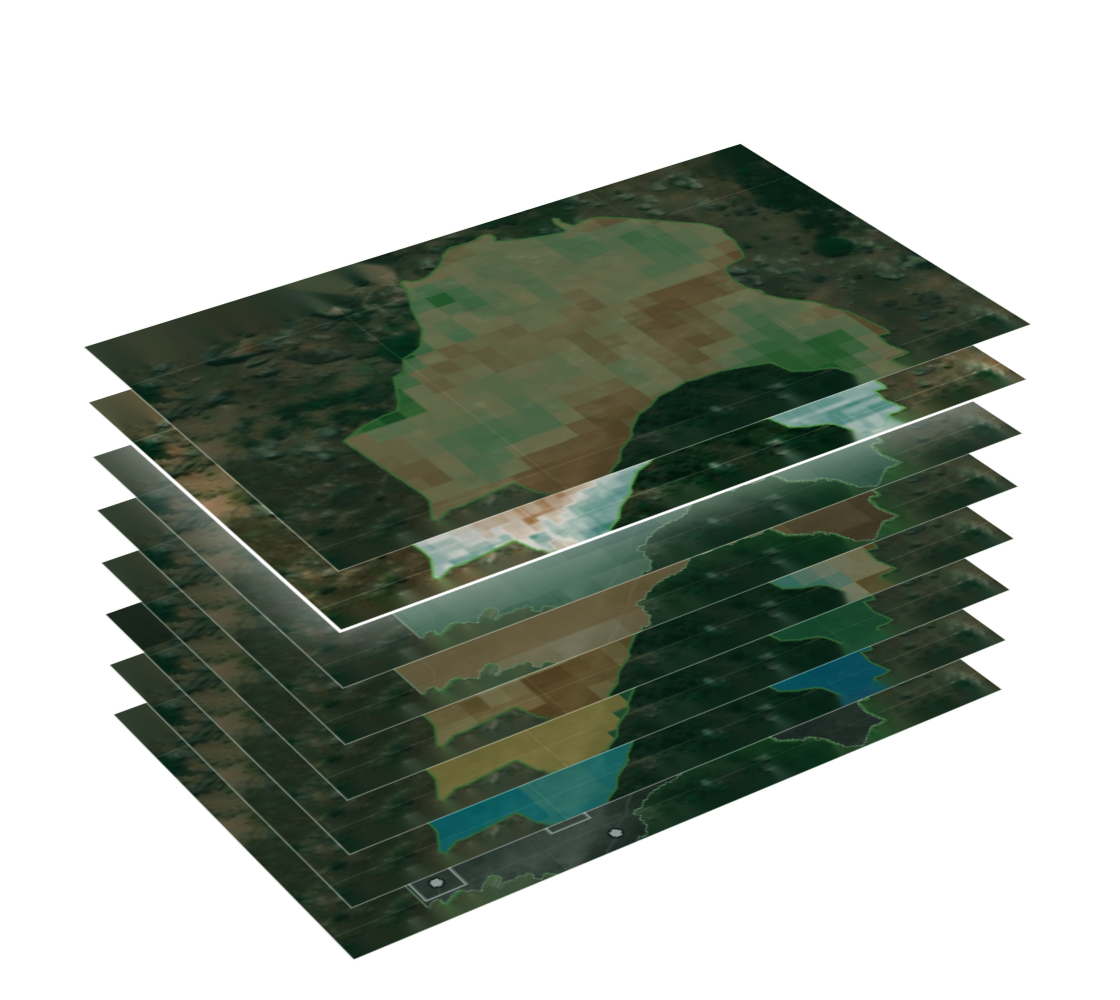
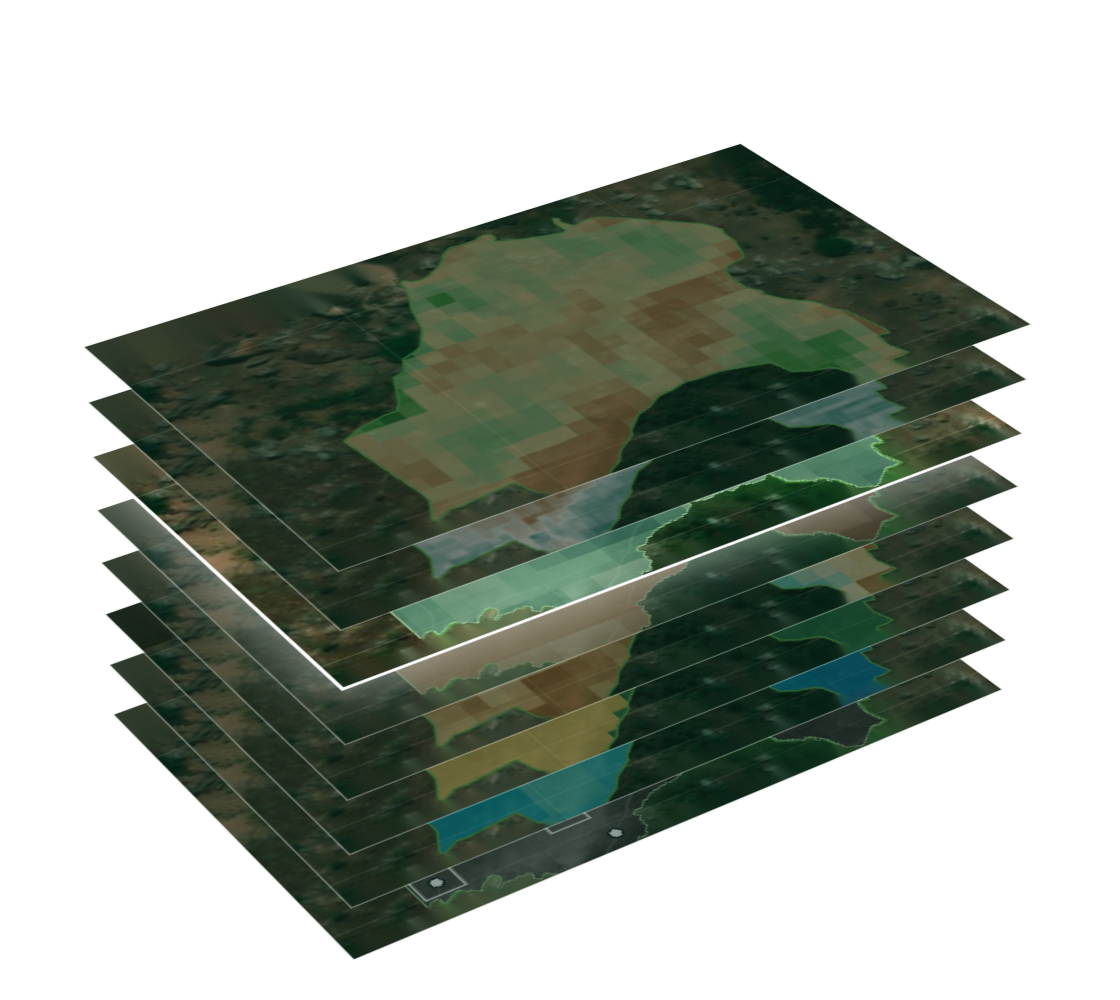
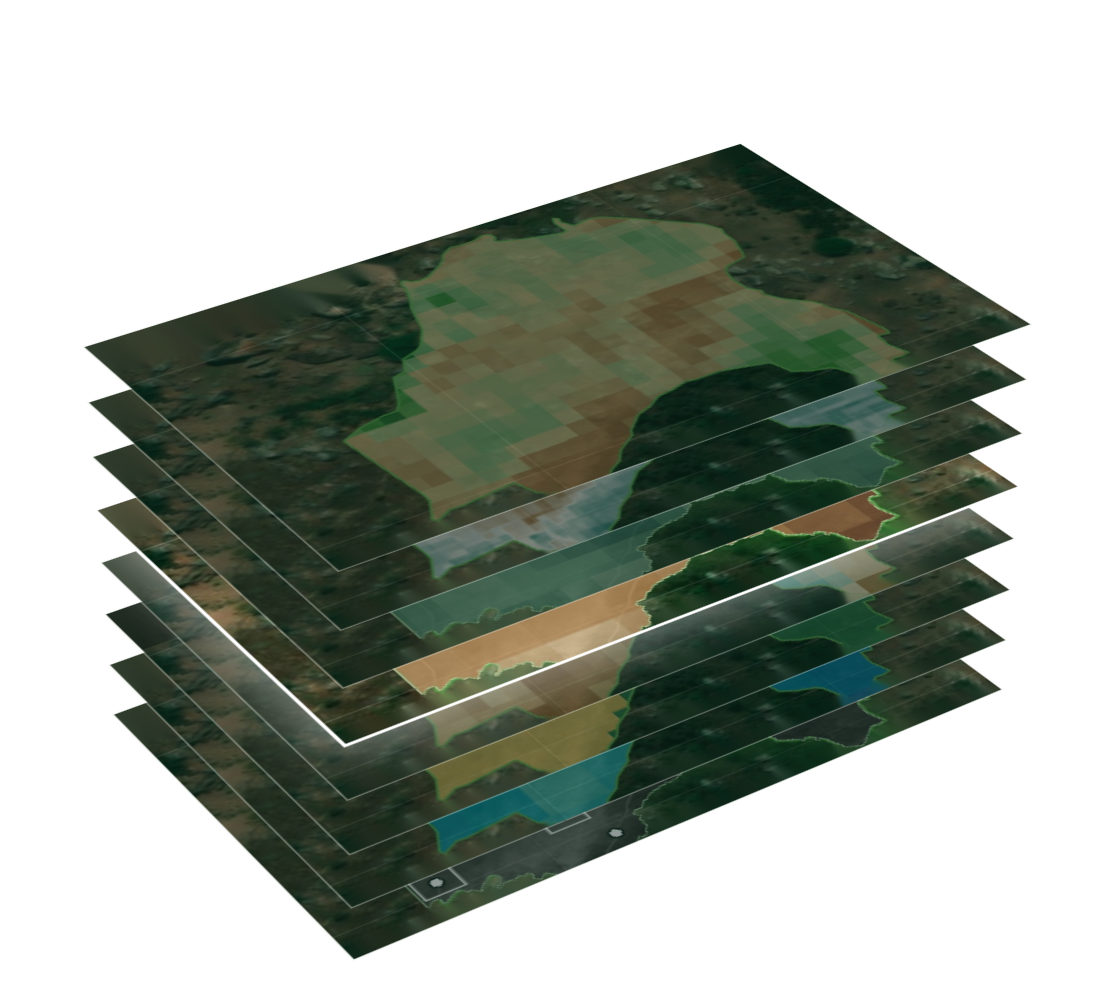
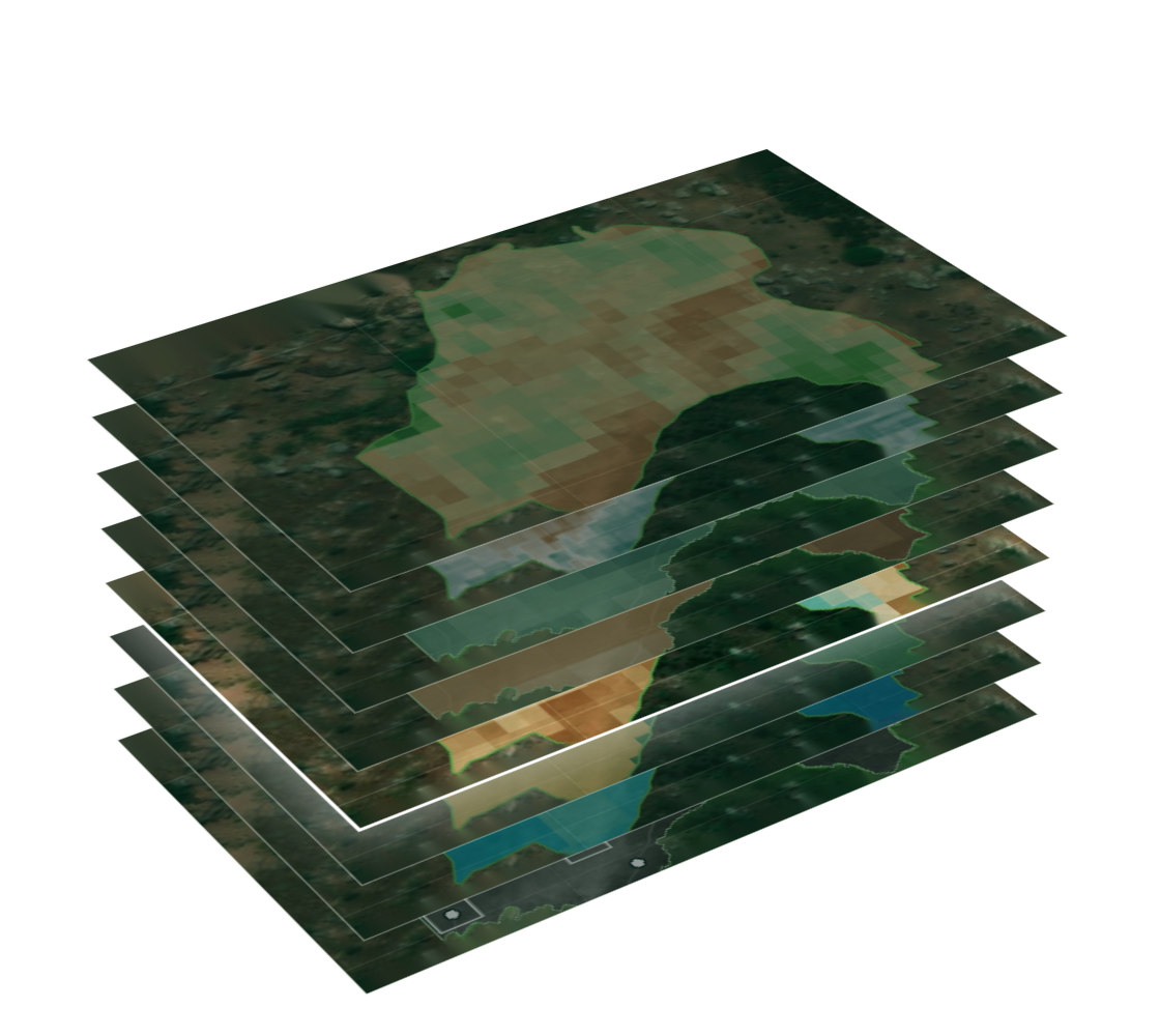
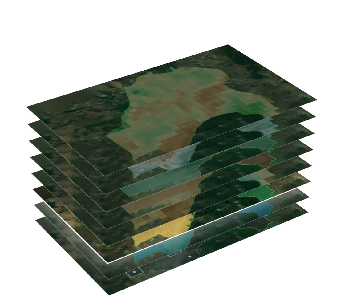
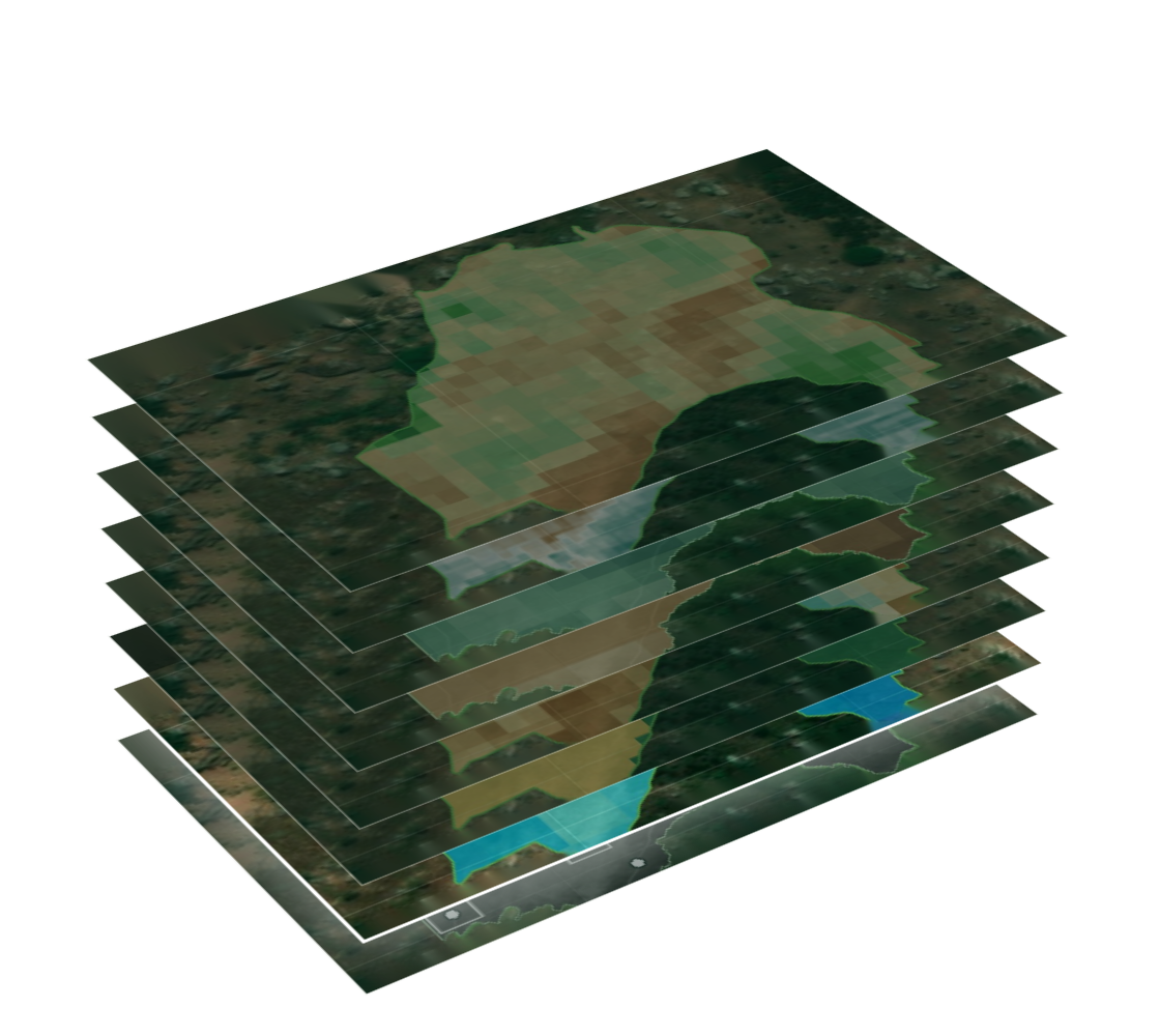
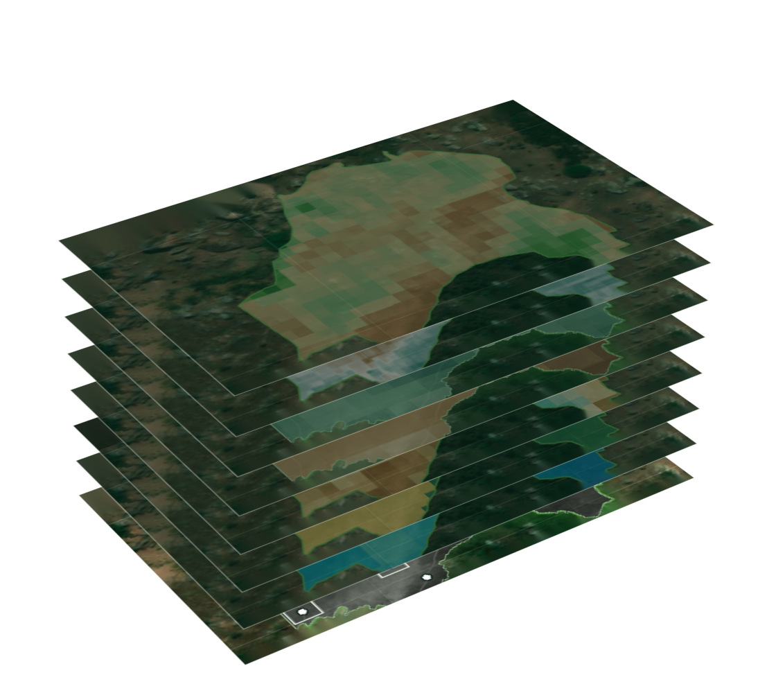
Every layer, on every plot.

layer-stack_3d_transparent-2

One platform. Thousands of plots. Millions of data points.


benefit-1_increase-visibility

benefit-2_save-time-on-monitoring

benefit-3_bring-data-together

benefit-4_automate-reporting

Increase visibility

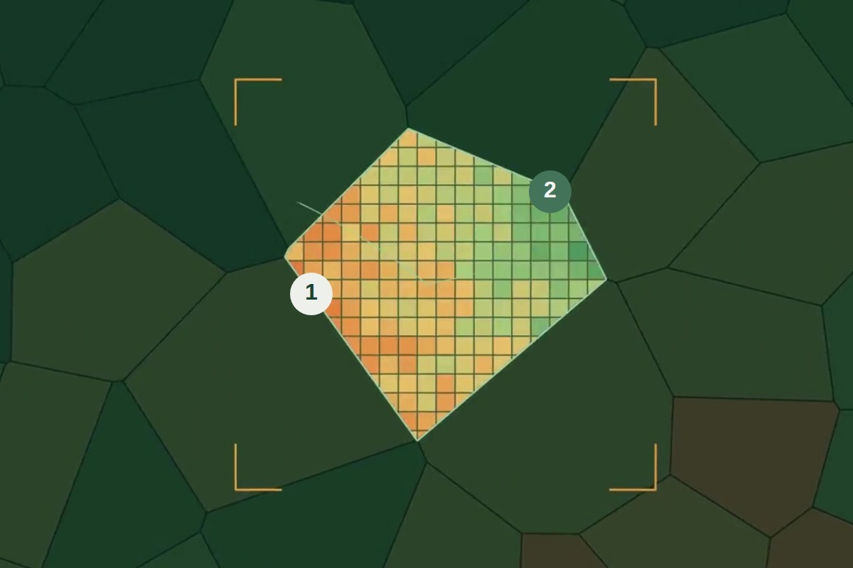
Compare farm conditions, establish baselines and see changes across your landscapes.

Save time on monitoring

Monitor sites remotely and identify where field visits are needed.

Bring your data together

Combine satellite, field and project information in one shared view.

Automate reporting

Turn collected data into standardised reports and share progress consistently.


Our work

RegenWise in the field.

Scroll →

case-hrns_coffee-agroforestry_3x2
Hanns R. Neumann Stiftung (HRNS)

Regenerative Coffee · Tanzania

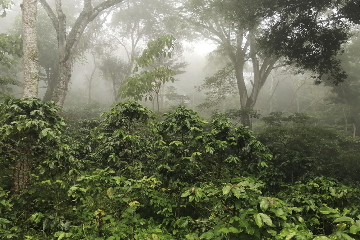
Supporting smallholder coffee farming families in Mbinga.

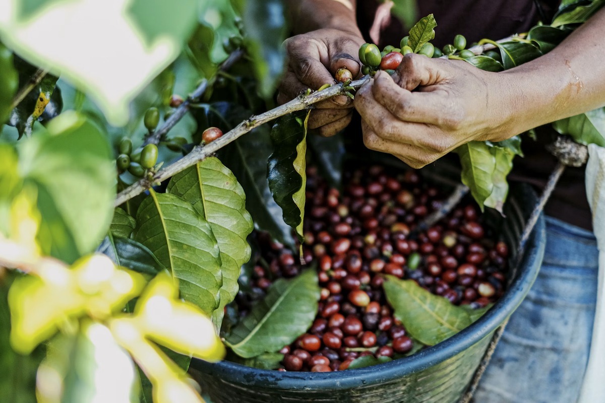
RegenWise is used to monitor coffee agroforestry, compare farm conditions and identify where targeted field interventions are needed.
case-natureplus_cocoa-agroforestry_3x2
Nature+

Deforestation-free Cocoa · Congo

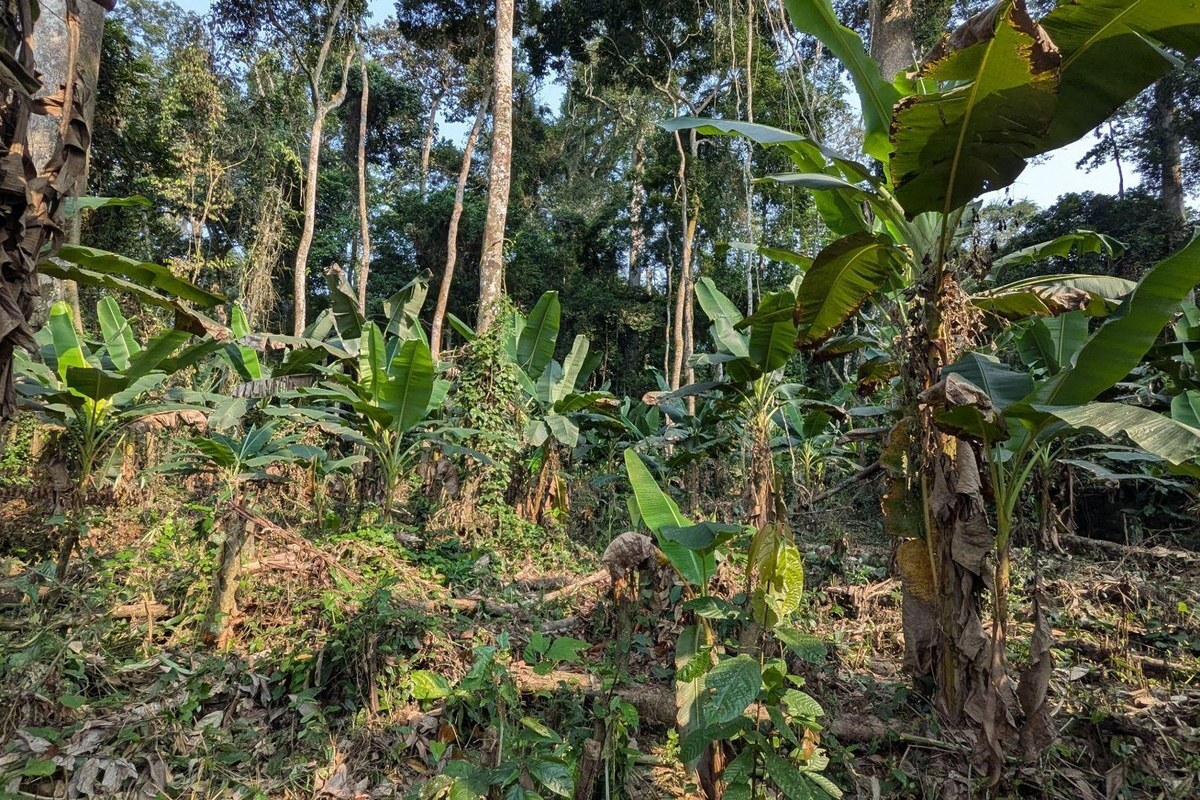
Supporting deforestation-free cocoa agroforestry across scattered household plots.

RegenWise helps assess land use and deforestation risks across cocoa plots, with evidence for EUDR due diligence and donor reporting.

fondation
Tellus Conservation

Af/Reforestation (ARR) · Congo

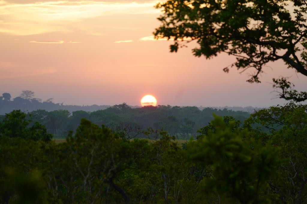
Supporting forest and landscape restoration.

RegenWise combines satellite and field data to assess landscape conditions, support restoration planning and monitor change over time.

audience-corporates_coffee-field_4x5

Global agricultural traders

Supporting regenerative programmes across sourcing regions.

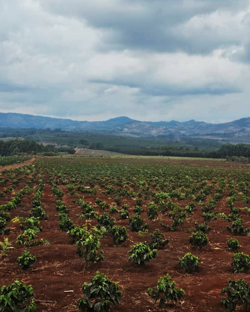
RegenWise can help traders compare land conditions and drought risks, prioritise field support and guide farmer incentives.


WHO WE HELP

One platform for project teams, supply chain teams and funders.

For everyone who depends on regeneration.

Corporates, Brands & Traders

Understand commodity sourcing risks and prove regenerative programmes' impact.

  • Field risk assessment
  • Supplier comparisons
  • Programme monitoring
  • Scope 3, insetting and EUDR reporting support
Talk to our team

Project Developers, Implementers & NGOs

Prioritise field action where it matters the most and show project progress.

  • Baseline assessment
  • Intervention planning
  • Field visit prioritisation
  • Donor reporting
Talk to our team

Investors, Funds & Donors

Assess, create carbon baselines and make informed funding decisions.

  • Due diligence baselines
  • Project comparisons
  • Portfolio scorecards
  • Impact reporting
Talk to our team

For everyone who depends on regeneration.